The St. Francis River in Missouri and Arkansas has suffered for years from turbidity, or cloudy water caused by runoff of sediment, but thanks to the dedication of government and non-government groups as well as farmers, the river’s water quality is improving.
Two segments in Arkansas were listed in 2006 as an impaired waterway under the Clean Water Act because of poor water quality. But in 2014, following years of focused conservation work, the two segments were removed from the impaired waterway list because water quality had greatly improved.
The St. Francis River begins in southeastern Missouri, flows across Arkansas, and empties into the Mississippi River near Helena, Arkansas. Soils eroding from farm fields have washed into waterways that flow to the river, contributing to water quality problems downstream.
Beginning in 2010, USDA’s Natural Resources Conservation Service (NRCS) accelerated efforts with farmers and ranchers, as well as conservation partners in the watershed, to implement conservation systems on 479 farms and ranches in order to curb soil erosion, improve the quality of water coming off of fields, and enhance irrigation efficiency.
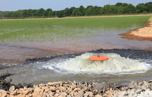
This conservation work was through NRCS’ Mississippi River Basin Healthy Watersheds Initiative, which funded five projects in the St. Francis River watershed. These projects enabled farmers to implement NRCS conservation systems that avoid, control, and trap nutrients and sediment leaving their fields. NRCS invested more than $14 million through five projects in the watershed, putting conservation systems on more than 81,227 acres.
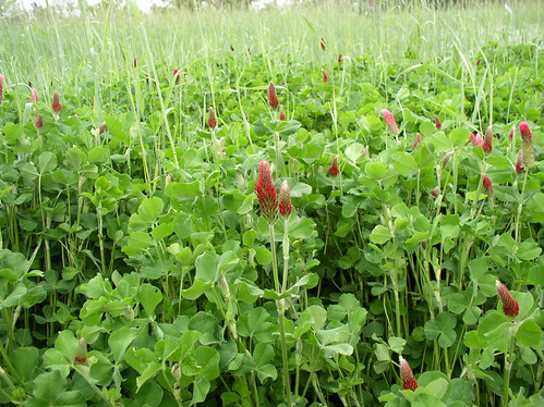
Through a targeted approach to implementing voluntary conservation systems, the partners identified areas of high conservation need and tailored practices, such as nutrient management, residue and tillage management, water control structures, and irrigation pipelines, to the uniqueness of small watersheds near the St. Francis River and specific environmental concerns, including the turbidity issue, and excess nutrients.
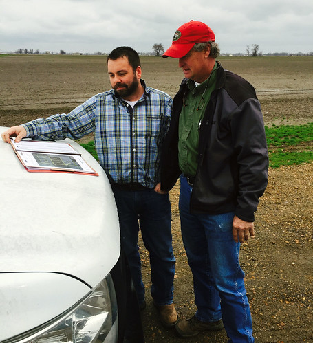
MRBI provided Fred Stuckey, of Stuckey Farms Partnership, the financial assistance to help establish a detailed nutrient management plan throughout his 8,000 acre operation. The financial incentives supported development of detailed soil maps, and combined with yield maps, provide even more data to better make nutrient management decisions.
“As a result, we have seen our overall input costs decrease,” Stuckey said. “We are also confident that increased management has led to improved water quality benefits not only on the farm but also throughout the watershed.”
This work builds on the work of conservation districts in the area, including the Cross County Conservation District and Poinsett County Conservation District. The districts have helped farmers install water control structures that trap sediment and have been leaders in promoting the use of no-till.
“By bringing all of the partners to the table to address the water quality concerns in the St. Francis, we were able to get results,” said Mike Sullivan, NRCS State Conservationist in Arkansas. “These MRBI projects have shown that targeted approaches in small watersheds can be very effective to improve water quality and maintain viable agricultural operations.”
MRBI is one of many landscape-level efforts to address water quality; similar efforts are ongoing in the Great Lakes region, Gulf of Mexico region, Chesapeake Bay watershed and California Bay Delta region.